
By Wendy Post —
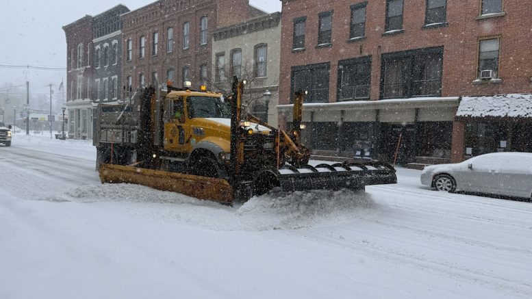
The days leading up to the arrival of Winter Storm Fern on Sunday were hectic, with residents searching for generators and stocking up on food and other sundries.
Dubbed “Winter Storm Fern,” the massive storm impacted over 200 million people from Texas to New England and portions of Canada, bringing with it significant ice, snow, and record-breaking cold temperatures.
The storm arrived early on Sunday with heavy snow throughout the day and then continued into Monday; schools and most businesses were subsequently closed for the duration.
In Tioga County, N.Y., a state of emergency was declared at both the state and county level, as departments readied to deal with the storm, as well as any power outages that might result from the ice and snow.
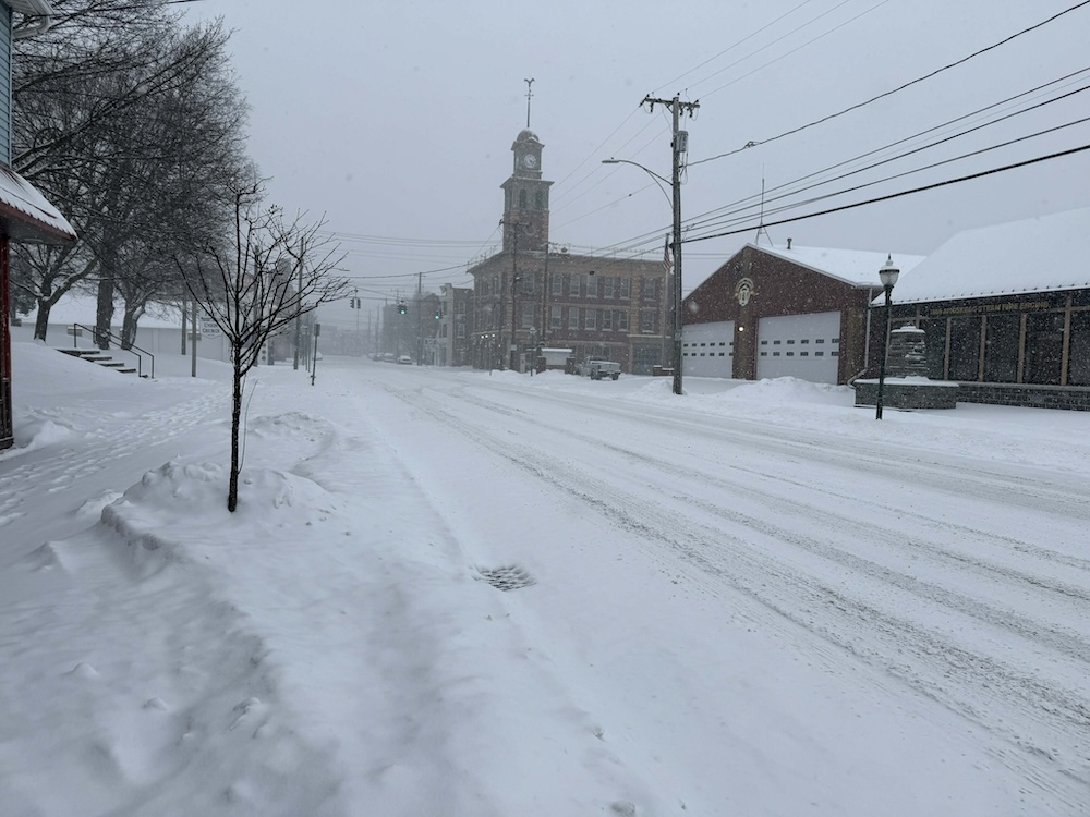
Snow blankets North Avenue in Owego on Monday, with the fire station faded by heavy snowfall from “Winter Storm Fern.” (Sebby S. Truesdail photo)
According to Nathan Wiles, owner and chief meteorologist at Wiles Valley Weather, LLC in Litchfield, Pa., the primary snow event tapered off around midnight Sunday evening, with returning snow showers early on Monday and into the afternoon.
Wiles noted that snowfall amounts in the Tioga County region ranged from 9.5- 13-inches, with the higher totals missing just east into Broome County.
We asked some local readers how they stacked up, snow-wise, and JoAnn R. Walter measured at about one foot in Little Meadows, Pa.
Lorie Holmes-VanDusen noted that she had no idea what the depth of snow was on the hill between Spencer and Candor, but she wrote, “We have bare spots, and we have drifts over two feet deep.”
With a photo of a measuring tape in the snow, Kaylyn Nugent reported a foot of snow in Candor; another post from Binghamton reported 11-inches.
No comparison to the likes of the approximate 41-inches that buried the region in December 2020 after a nor’easter arrived, but still enough snow to shut down travel and shudder businesses for a couple of days.
Nathan Wiles offered a chilling forecast for the rest of the week that features drier conditions with minimal snow threats and potentially record-setting cold. He noted that peak wind chills of -15F are possible Tuesday and Wednesday morning, with low temperatures ranging from -10 to -3F Thursday through Saturday morning, and with a -25F wind chill factor.
“There are concerns that residents and businesses could have trouble with freezing water lines due to the extreme cold later this week,” Wiles cautioned.
As for power, there were few disruptions reported with Fern, and as of 5:20 p.m. on Monday, NYSEG was reporting that 15 customers, primarily in Richford, were without power.
Warming stations were opened up to residents in the event a significant power outage were to occur.
To track power outages in your area and nationally, visit https://poweroutage.us.

Be the first to comment on "Tioga County residents grapple with ‘Winter Storm Fern’"