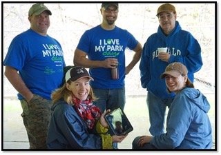
With funding from the Mildred Faulkner Truman Foundation (MFTF), the Carantouan Greenway is developing the local Park Mapping Project, designed to address the growing need of community park visitors in Tioga County to be “connected” to their surrounding parks via mobile devices.
Through the establishment of GIS-based maps for the parks, the project will establish and map GPS coordinates for native plant collections, bike paths, running and hiking trails and featured park points-of-interest. The project will serve as both an education and safety based resource for park visitors.
The ESRI geographic information system (GIS) software to be used for this project supports a digital location platform, resulting in park map accessibility via any mobile device. The Carantouan Greenway is working with Tioga County stakeholders, including the Waverly Recreation, Tioga County Tourism and Friends of Two Rivers State park in Waverly, to create maps of relevance to users of the Waverly Glen, Two Rivers State Park and Wildwood Reserve in Barton.
For more information, email to tpipher@carantuoangreenway.org.


Be the first to comment on "MFTF Funds Carantouan Greenway for GIS-Park Mapping"